The Hunnicutt Food Forest · in 3D
Walk the top of Hunnicutt Creek before you get there.
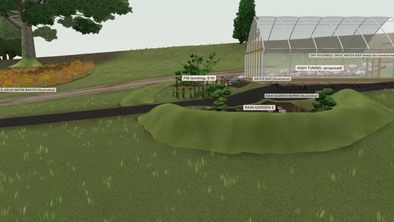
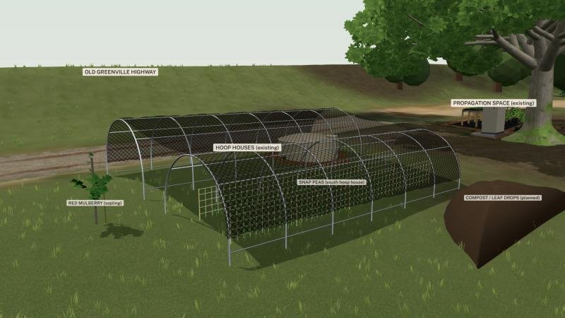
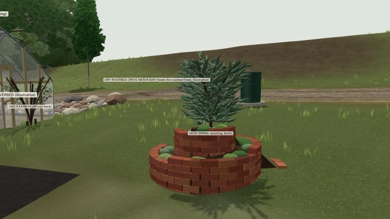
This is the food forest as it stands, built on the real shape of the land: the hoop houses, the tank, the herb spiral, the old oak, and the dry creek below it. Tap Planned work to see the greenhouse, rain gardens and swales we want to build next, then come help build them.
Works best on a laptop or a recent phone on Wi-Fi. Drag to turn, pinch or scroll to zoom.
This browser can't show the 3D model, so here are stills from it instead.
From the model
A few places to start
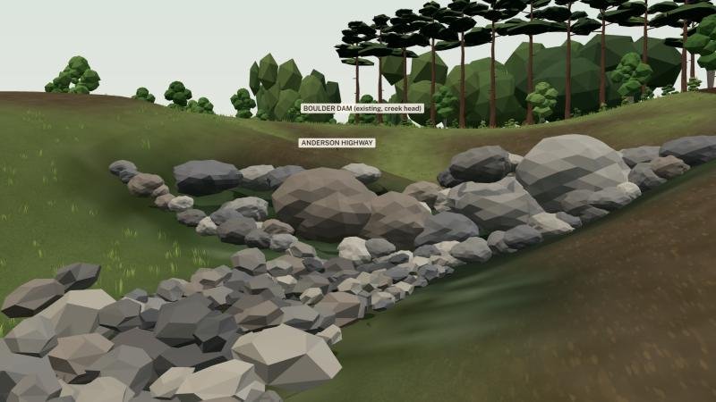
The hero above is the whole site from over the creek. These are four of the Go-to stops inside the model.
How this model was built
- The ground is real. It comes from lidar the U.S. Geological Survey flew in 2019, a laser scan of the land turned into a height grid one meter apart, with a recent aerial photo laid over it.
- The trees stand where that scan found them, each at its measured height and crown size, about a thousand of them. The scan can't tell species apart, so most are placeholders until a field day tags them. The scan is also about six years older than the photo.
- The things we built or use, like the hoop houses, the tank, the herb spiral, the birdhouses and the boulder dam, were modeled from our own photos and site drawings. Sizes we haven't measured yet are our best guess and are marked that way in the model's notes.
- Nearby buildings use their mapped outlines with roof heights from the same scan; the wall materials are guessed from the type of building.
- Planned work is a sketch for talking over on site. Only the high tunnel pad and the two rain gardens reshape the ground. It is not a survey and not an engineered design.